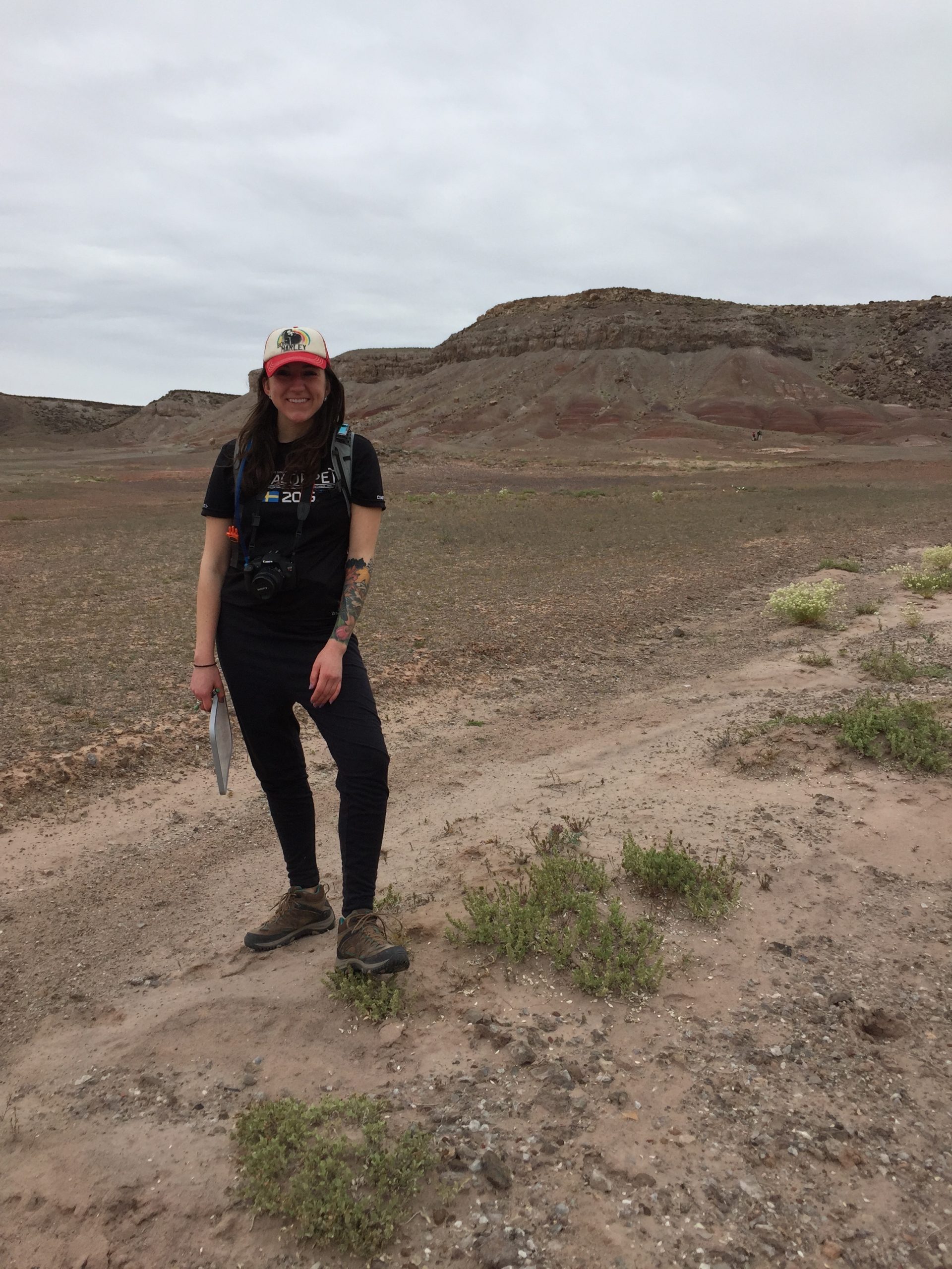
This April, Ruby Schauffler (Geology, ’17) spent a week in the field with a team of scientists from NASA, the Planetary Science Institute, and several universities. They were in the Utah desert testing options for how the next Mars rover, scheduled to launch in 2020, will collect geological samples to look for signs of life. Ruby, the only undergraduate on the team, was a rover! Here’s the first of her three reports from the field:
“It is hard as a human to act as a rover.”
Today was my first day as a rover. I began with learning that I am a linear traverse rover. This means that I will go to each waypoint once with no opportunity to return to that point. I will travel the path one time through and decide when I want to take a sample at the very moment I see it. The other rover (her human name is Becca) will perform a walk-about method. This means that she can travel the path as many times as necessary before choosing the samples she would like to take, in place of the rover. In this field test, we were testing the method of the rover more than the limitations of the rover. To be clear, this means the rovers (people in the field) would traverse up and down slopes that the rover (on Mars) would not usually take.
Before we reached the field site, our team was given orbital data and CRISM data (figure1). We used this to determine what route and waypoints would be most important to our team. When planning the route we had to take into consideration the preservational environment, chemistry, and geologic history. After looking at the data, we had a couple of different options for routes and decided to do a route like that in figure 1.

Figure 1: Orbital and CRISM data of our field site. The linear and walk-about rover teams took a route similar to the yellow path beginning in the landing ellipse and moving clockwise around the traverse. The tiger terrestrial field geology team took whatever route they found necessary to learn about the site.
The first day in the field I started in the landing ellipse (the area in which the rover would land on Mars) and was instructed to climb to the highest point at waypoint 1. At this point I was to take a 360 degree pantographic image at the horizon and another at a lower level. After the photographs were taken I had to walk back to our camp to downlink the data that I had collected. Each time I walked back and forth between waypoints and the camp I was not supposed to be looking around too much.
It is hard as a human to act as a rover. Anytime a person is walking through the field they are collecting information just by seeing what is around them. What I would see along the way I might see at a new point in the traverse, but the rover would not know this. The only information the rover has is what it takes images of. So in a sense, I was more like an instrument on the rover and my team mates back at camp, Linda and Aileen, were experiencing what scientists and engineers see every day at mission control for the Mars Rovers.
Once the data had been collected and downlinked, my team analyzed the data and assigned me my next task. Unfortunately, waypoint one had nothing of interest to my team. I was told to rove over to waypoint two. On my way to waypoint two I was told to take approach images. These are just what they sound like, a few images taken while approaching a waypoint. Once I reached waypoint two I was to take images of both the red and white colored facies. These images were used to get an idea of the stratigraphy at the bottom of the mesa. Once the images were taken we also took visible and near-infrared (VNIR) images of both facies. The VNIR we used was ran by Sarah Black, a graduate student at Boulder Colorado (figure 2). She would take the $70,000 instrument out into the field, which is similar to what would be mounted on the rover. She would hold it up directly to the outcrop and in a minute or so she would have an absorption spectra that would indicate the chemistry of that outcrop.

Figure 2: Our visible and near-infrared (VNIR) instrument in the field. Sarah agreed to write a blog post about her experience using the VNIR in the field and was able to get the instrument for the week cost free! She worked for all three teams in the field and did a great job of keeping teams’ information secret from the other teams.
When we downlinked the images from waypoint two we were not able to see waypoint three. We were at a blind spot for the rover, which could be dangerous. So I went to the furthest and highest point we could see from waypoint two and took pictures of what was out in front of me on my way to waypoint three. When these images were downlinked we had another blind spot on the way to waypoint three. In this blind spot we captured images of some interesting boulders so we decided to call this site waypoint 2.2. I was instructed to take images of the large boulders as they were suspected to have fallen from a place higher in the stratigraphy of the mesa. After the images of the boulders were downlinked the team wanted contact data from one large boulder with varnished spots on it, and one large white boulder sitting near it. I went back to the boulders with my two contact instruments: Sarah with the VNIR, and John Gemperline, a graduate student at the University of Colorado-Boulder, taking samples for x-ray diffraction (XRD) analysis. We took Mars hand lens images (Mahli) of the varnished portion of the boulder along with a sample for the XRD instrument. We then took VNIR data of the varnished portion of the boulder, the unvarnished portion of the same boulder, and then from the white boulder nearby.
This data did not reveal anything that would lead us to believe biological signatures had been preserved here, so we finally sent the rover (me!) to waypoint 3. On my way to waypoint 3, I took some approach pictures straight ahead of me and a few to the left and right of me. When I brought the data back to camp my team was particularly interested in the large boulders at this waypoint. The boulders here looked like they had been there awhile as they were crumbling to pieces all around their bases. I went back to one of these boulders with John and Sarah and took a Mahli photo, VNIR data, and an XRD sample. The interest in this boulder was the manner of crumbling: did it have layers, joints, or cracks? And what portion of the stratigraphy had it come from?
In all of the samples we had taken up to this point nothing was indicative of bio signatures, although we were getting a better idea of the stratigraphy as we moved along.
My next mission was approach images on my way to waypoint 4. I started with images of a cliff face as I turned around the mesa (waypoint 4 in figure 1). Then I took approach images moving towards waypoint 4.1. When I reached waypoint 4.1, I took a two tier 180 degree panographic image of what was to either side of me and what was in front of me. This was my last task of the day. At this point the rovers and their teams needed to recharge for the next day at work.
Leave a Reply
You must be logged in to post a comment.